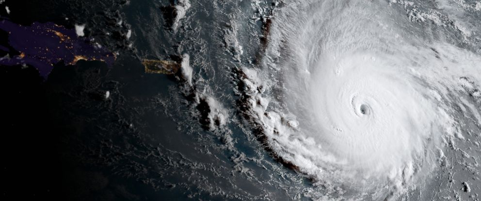
NOAA maps provide glimpse of Irma's impact
New 3D maps from NOAA provide a glimpse of areas of Florida impacted by Hurricane Irma. NMMA has shared links to these below for any businesses looking to get a bird's eye view of potential damage. In additon, NOAA offers insights on the data for each map:
Post-event imagery flown on Sept 11th by NOAA covering Key West, FL
Viewer:
Data:
https://floridadisaster.maps.arcgis.com/home/item.html?id=d826cbeab5c24a5b9d7c7cb44416c9ea
Post-event imagery flown on Sept 12th by NOAA covering the Florida Keys
Viewer:
Data:
https://floridadisaster.maps.arcgis.com/home/item.html?id=9639c1f3e7a34a16b5d5819855bfa0d1
Post-event imagery flown on Sept 13th by NOAA covering the Florida Keys
Viewer:
Data:
https://floridadisaster.maps.arcgis.com/home/item.html?id=f6711b179e134a9fabd85d1742e96a5f
Post-event imagery flown on Sept 11th by NOAA covering the Southwest Florida
Viewer:
Data:
https://floridadisaster.maps.arcgis.com/home/item.html?id=7e64bea4cc9549aeb28cffc96ad41f69
Post-event imagery flown on Sept 13th by NOAA covering Naples and Fort Myers, FL
Viewer:
Data:
https://floridadisaster.maps.arcgis.com/home/item.html?id=6a8dda31178a48989d46c083b76cb841


